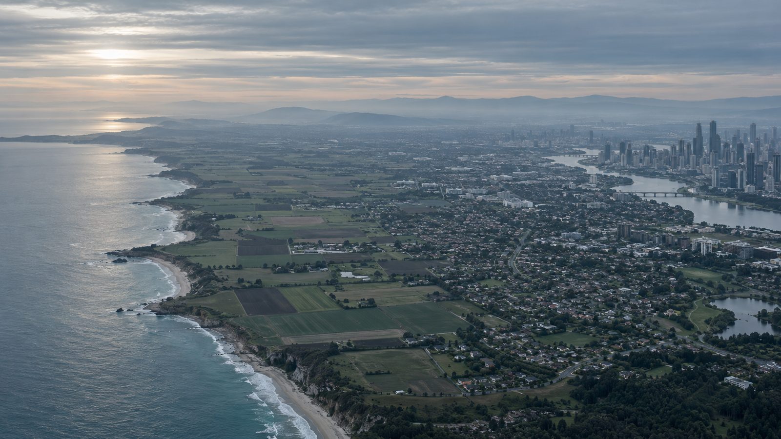
The atmospheric boundary layer is the lowest part of the atmosphere, directly influenced by the Earth’s surface. Within it, wind speed is low near the ground because of surface friction and increases with height. Buildings, trees, hills and other roughness elements on the terrain also generate turbulence. Wind profiles over open sea, countryside, suburbs and dense city centres therefore differ from one another. The same meteorological wind data can reach a building with different speed and turbulence characteristics depending on the terrain it has crossed.
Representing the atmospheric boundary layer correctly is one of the fundamental requirements of a CFD analysis or wind tunnel test. Defining a single constant velocity at the inlet boundary is unrealistic, particularly for tall buildings and urban microclimate studies. Alongside the variation of mean velocity with height, turbulence intensity, turbulence length scales, aerodynamic roughness and displacement height must all be taken into account. Ground roughness and turbulence boundary conditions must also be consistent, so that the prescribed inlet profile does not change artificially as it travels through the computational domain. EN 1991-1-4 likewise treats terrain roughness, topography, height and turbulence as the key parameters in determining wind speed.
Related insights
See all
What Is Wind Load?
The pressures and suctions wind creates on building surfaces, and the difference between main structural loads and local façade pressures.

Wind Load Calculation to ASCE 7 and EN 1991-1-4
Code-based wind load calculation: the MWFRS and C&C distinction, EN 1991-1-4 parameters, and where code coefficients fall short.
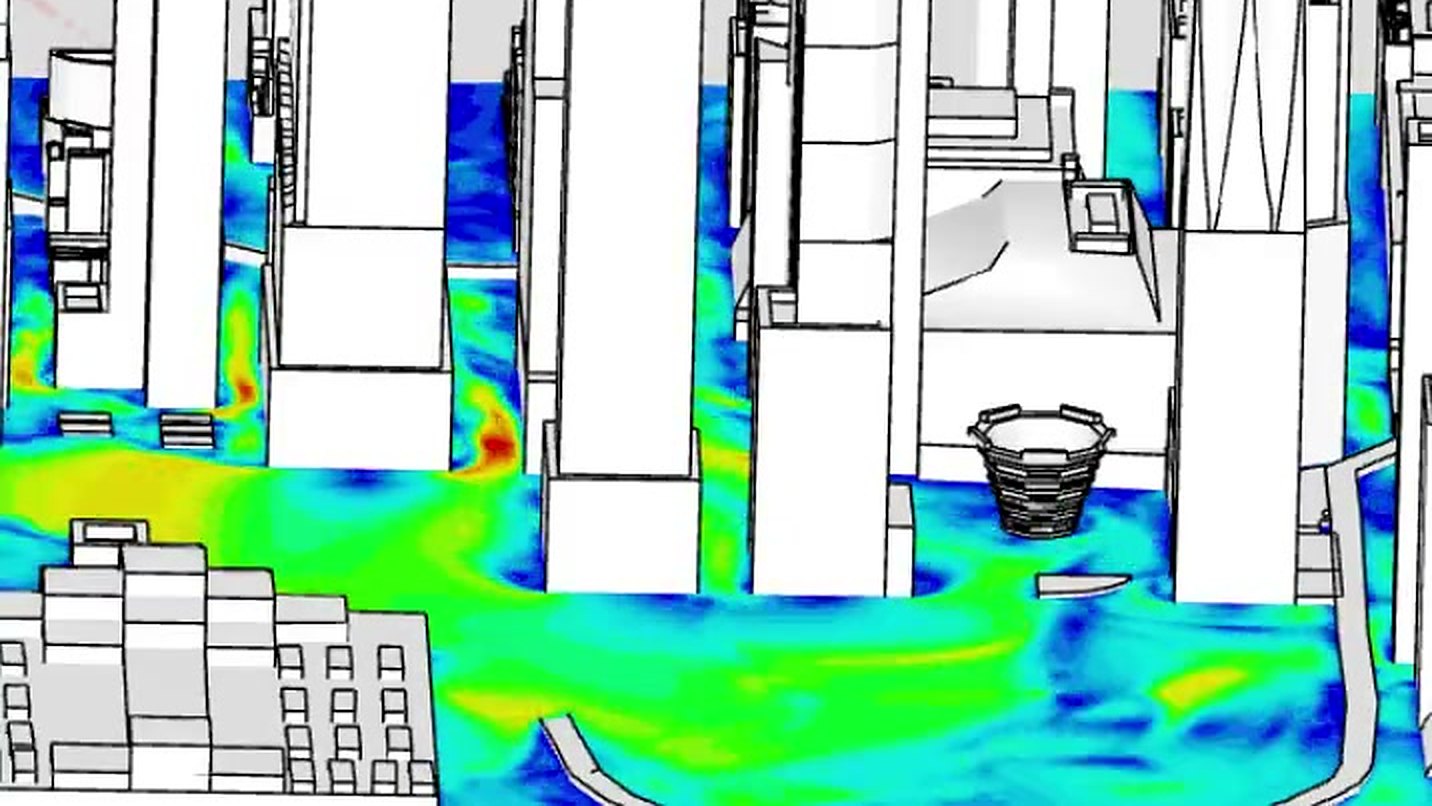
When Should CFD Wind Analysis Be Used?
Where CFD outperforms code tables, how it supports pedestrian comfort studies, and what determines whether its results can be trusted.