AI-powered rapid visual screening. The input is usually a single coordinate; structural system, material, year built, number of stories and soil class are detected automatically.

Seismic Risk Predictor
Fast seismic risk assessment from a single structure to portfolio scale. FEMA P-154 gives probability of collapse, contents vulnerability scores and highlighted deficiencies — delivered through a secure API within seconds.
Insurers, reinsurers, asset managers
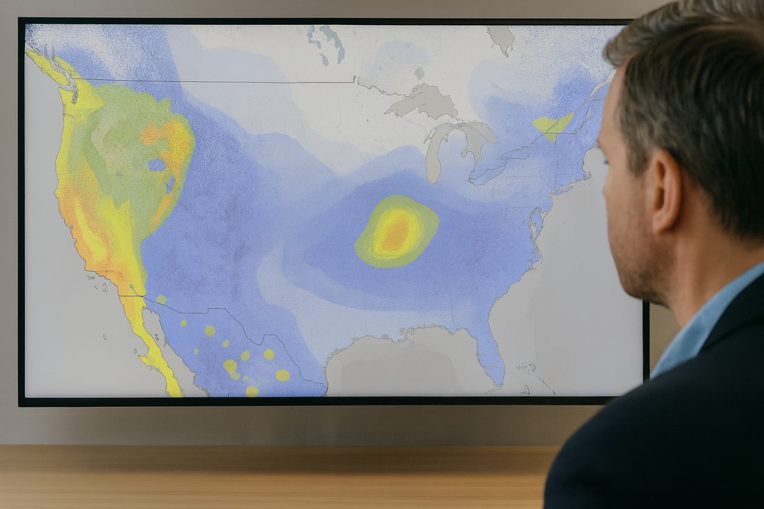
Hazard Maps
Combines regional earthquake hazard data with detailed geotechnical information. Starting from spectral and peak ground acceleration, it applies amplification factors from USGS soil classification, down to floor-level accelerations.
Designers, retrofit specialists, insurers, disaster management

Regional Risk Maps
Draw a polygon on the map and every building inside it is evaluated individually. Irregularities, adjacency and soil class included; the result is a high-resolution regional risk profile, risk accumulation analysis and a mitigation roadmap.
Municipalities, government agencies, emergency authorities

Financial Loss & Downtime
A simplified implementation of FEMA P-58 estimating repair costs and expected recovery duration. Users can sharpen the model by entering their own machinery and equipment inventory.
Insurers, asset owners and operators, public institutions
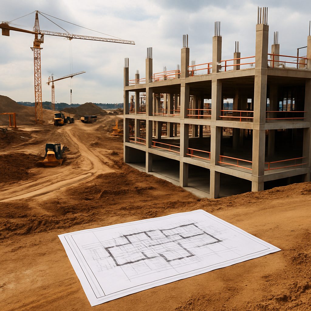
New Investments Tool
Draw the footprint of a planned structure on the map and enter the number of stories and intended use. Terrain slope, soil classification, deep excavation needs and special foundation requirements feed a construction cost prediction.
Investors, developers, construction firms, financial institutions